Arts & Entertainment
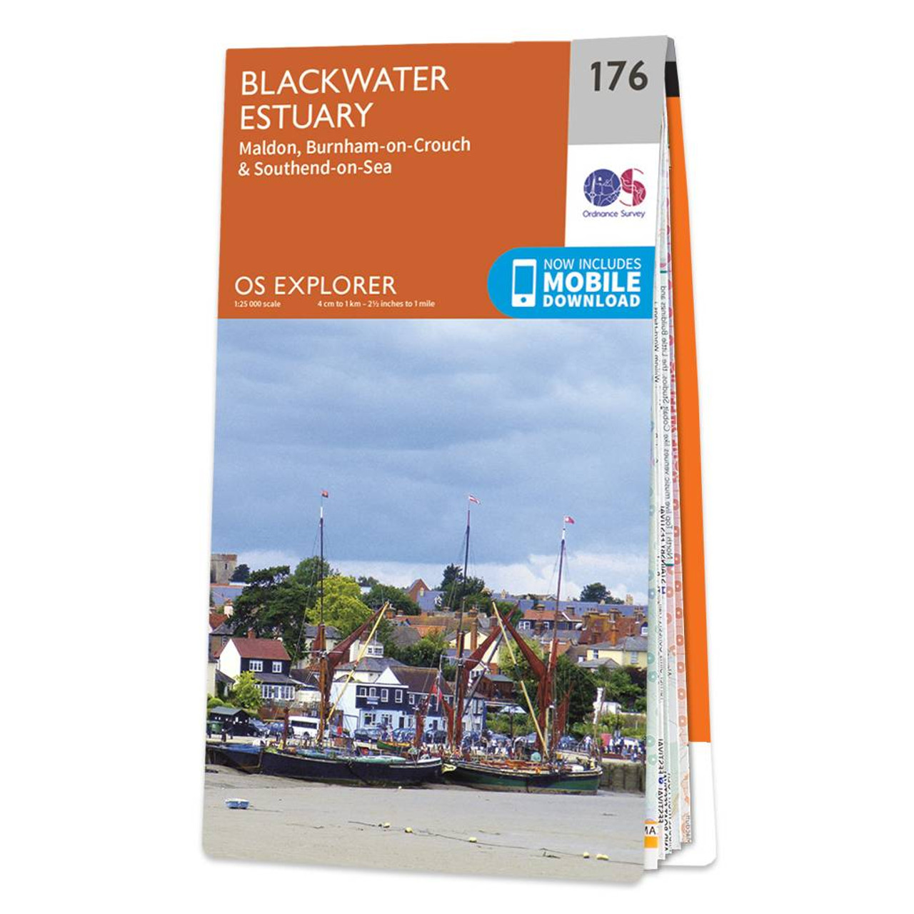
Ordnance Survey OS Map of Blackwater Estuary: Explorer 176
Map of Blackwater Estuary - OS Explorer Map 176 (Maldon, Burnham-on-Crouch & Southend-on-Sea) Format: Folded map Physical Size: 952 x 1270 mm (133 x 240 mm folded) Standard Publication Date: 20/11/2018 Weatherproof Publication Date: 19/12/2018
12.99
inclusive of all taxes
Similar Products (All Sizes/Variations)